🎉 Up to 70% Off Selected ItemsShop Sale


Garmin Montana 700i Built-in inReach Satellite Technology with Handheld Glove-Friendly Color Rugged GPS Touchscreen Navigator - 010-02347-10
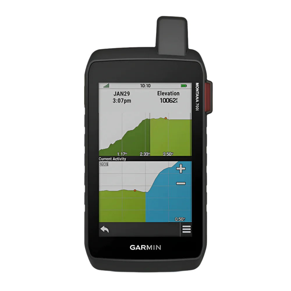
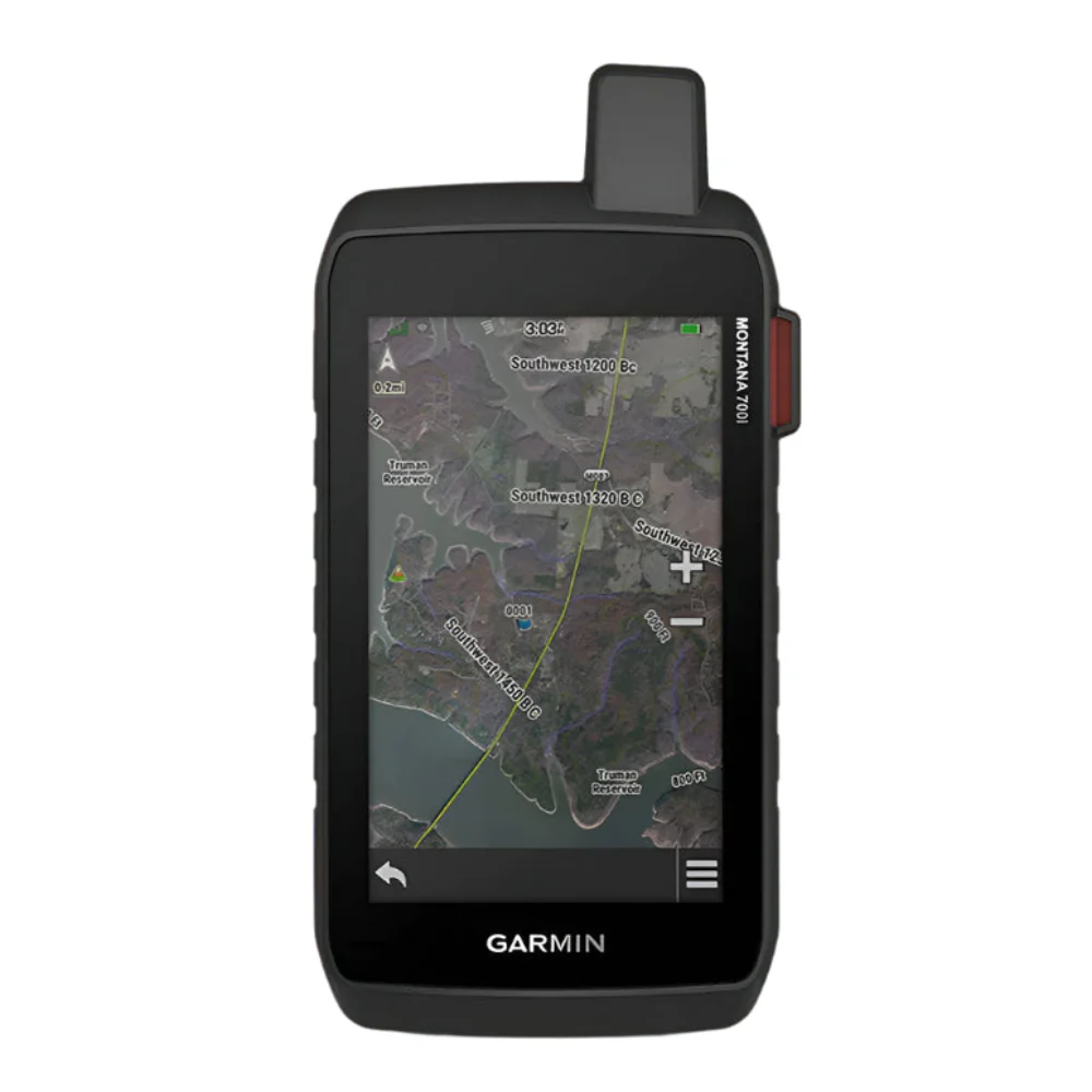
Garmin Montana 700i Built-in inReach Satellite Technology with Handheld Glove-Friendly Color Rugged GPS Touchscreen Navigator
- Features rugged military-grade construction and a 5” touchscreen display that’s 50% larger than the previous model; offers easy viewability and includes versatile mounting solutions
- Trigger an interactive SOS to the GEOS 24/7 monitoring center — two-way messaging via the 100% global Iridium satellite network (active satellite subscription required; some jurisdictions regulate or prohibit the use of satellite communications devices)
- Multi-GNSS (GPS and Galileo) support — plus preloaded Topo Active maps and City Navigator street map navigation; navigation sensors include 3-axis compass and barometric altimeter
- Pro-connected with ANT+ technology, Wi-Fi connectivity and BLUETOOTH wireless networking, giving you direct-to-device access to Birds Eye Satellite Imagery downloads, location sharing, Connect IQ app support and more
- Compatible with the Garmin Explore website and app to help you manage waypoints, routes, activities and collections, use tracks and review trip data from the field
$210.00
Original: $699.99
-70%Garmin Montana 700i Built-in inReach Satellite Technology with Handheld Glove-Friendly Color Rugged GPS Touchscreen Navigator - 010-02347-10—
$699.99
$210.00Product Information
Product Information
Shipping & Returns
Shipping & Returns
Description
Garmin Montana 700i Built-in inReach Satellite Technology with Handheld Glove-Friendly Color Rugged GPS Touchscreen Navigator
- Features rugged military-grade construction and a 5” touchscreen display that’s 50% larger than the previous model; offers easy viewability and includes versatile mounting solutions
- Trigger an interactive SOS to the GEOS 24/7 monitoring center — two-way messaging via the 100% global Iridium satellite network (active satellite subscription required; some jurisdictions regulate or prohibit the use of satellite communications devices)
- Multi-GNSS (GPS and Galileo) support — plus preloaded Topo Active maps and City Navigator street map navigation; navigation sensors include 3-axis compass and barometric altimeter
- Pro-connected with ANT+ technology, Wi-Fi connectivity and BLUETOOTH wireless networking, giving you direct-to-device access to Birds Eye Satellite Imagery downloads, location sharing, Connect IQ app support and more
- Compatible with the Garmin Explore website and app to help you manage waypoints, routes, activities and collections, use tracks and review trip data from the field